Tue, Nov 17
6:00 PM – 9:00 PM
4931 W Nassau St · Tampa
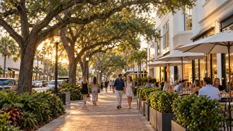
International Plaza, Bay Street dining, and sunsets off the Courtney Campbell.
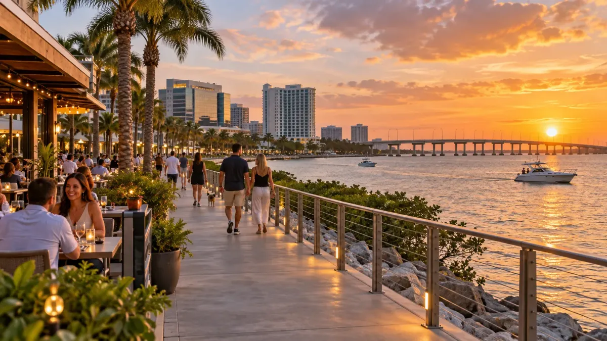
Westshore’s modern business district grew from land once occupied by pastures, citrus groves and aviation uses. Its later milestones include International Plaza’s opening in 2001 and the addition of the Courtney Campbell Trail. Today, airport hotels, offices, shopping and restaurants mix with Rocky Point’s waterfront dining on Old Tampa Bay. Choose Bay Street for a concentrated restaurant and shopping stop, or Rocky Point for water views. They belong to the same broad guide, but are separate destinations rather than a continuous walking route.
Map
Editor picks4
Local venues and nearby highlights, soonest first.
See everything happening
The Bucs host the Carolina Panthers at Raymond James Stadium at 8:15 p.m..
View eventPhoto: Alex Korolkoff / UnsplashThe Bucs host the Los Angeles Chargers at Raymond James Stadium at 1 p.m..
View eventPhoto: Alex Korolkoff / UnsplashThe Bucs host the New Orleans Saints at Raymond James Stadium at 1 p.m..
View eventPhoto: Alex Korolkoff / UnsplashThe Bucs host the Los Angeles Rams at Raymond James Stadium in their final regular-season home game.
View eventPhoto: Alex Korolkoff / UnsplashThis week
This week
No live music is listed in Westshore this week. See shows across Tampa Bay
Eat
Distances estimate a direct line from this guide’s center, not your location or a route along streets.
Drink
Do
Few attractions sit inside Westshore, so the nearest within three miles are added and marked Nearby.
Keep it local
Pick your kind of outing. We’ll put the local stops together.
A food and drinks plan, with a bar stop when it fits your route.
Surprise me nearbyNo saved list needed. Every stop stays in Westshore.
All starts use Tampa time. The next evening is today if 6 PM is still ahead, otherwise tomorrow. You can choose another date or time in the planner. Budget and walking times are estimates; check hours and crossings before heading out.
Right now
Fresh local headlines, nearby public-safety context, and places to play, all in one area guide.
Swipe for news, safety, and sports
Outdoors
Park data: OpenStreetMap contributors
Getting there
Routes with a stop within a half-mile walk of the center.
Nearby
Straight-line distances between guide centers. Travel routes may be longer.
Swipe for nearby guides